Our Services
We use the same cutting edge technology without the faff of expensive studios. We can work with property sellers and lettings agents to bring a whole new level to showcasing your customer’s homes. Our technology is also used in Agriculture to Construction and roofing inspections Check each area below to see what can be done using Vista Craft.
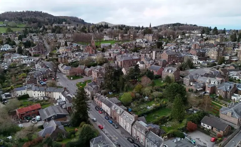
Aside from our expertise in Photogrammetry, we also provide aerial shots of your property at very coimpetitive prices – guaranteed!. If you are an estate agent or private seller, you can contact us via our contact form or cgive us a call and we can respond usually within 24 hours of your request and providing great detail and fantastic super fast turn around times.
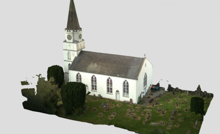
Drone photogrammetry is a remote sensing technique that involves capturing high-resolution aerial images using unmanned aerial vehicles (UAVs) or drones. These images are then processed and analyzed to create detailed, accurate, and scalable 3D models and maps of the surveyed area. In the context of real estate, drone photogrammetry allows for the efficient and cost-effective visualization of properties from unique perspectives, providing potential buyers with an immersive experience.